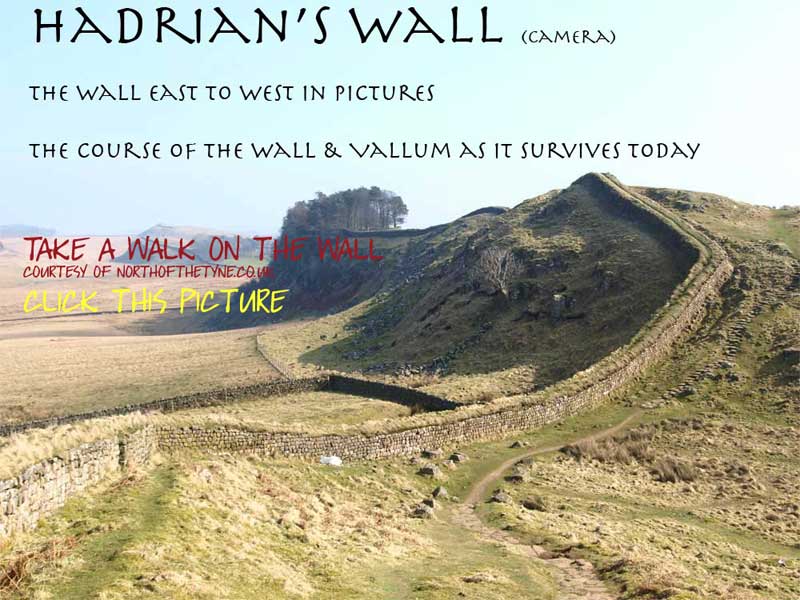
|
 |
|
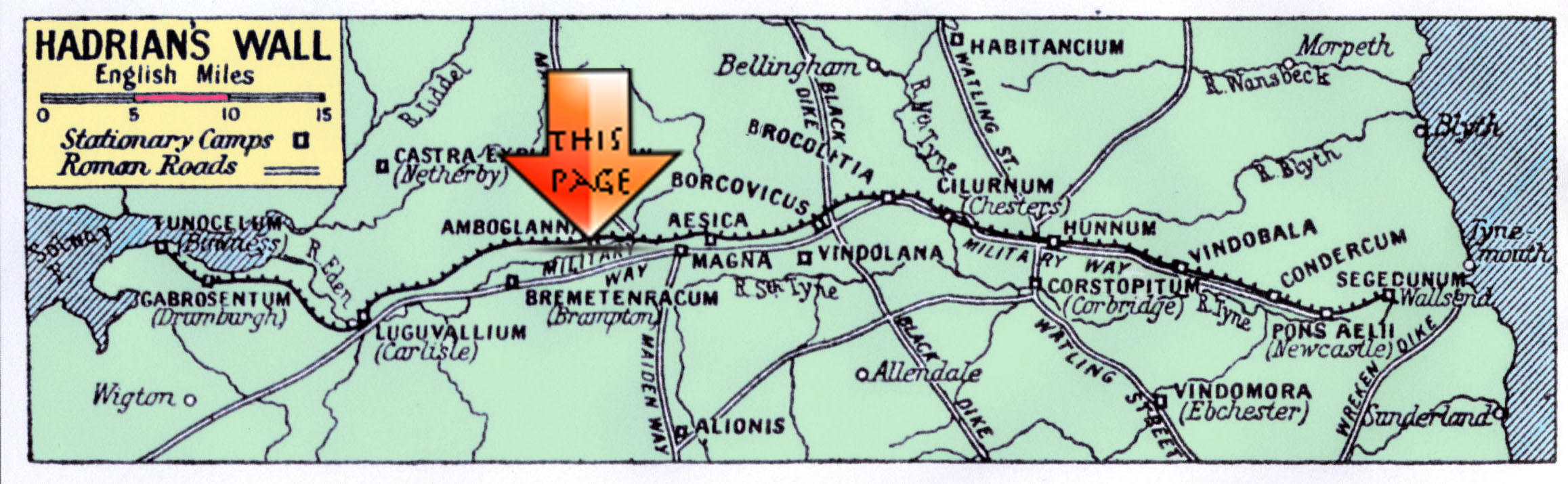
Page XIII
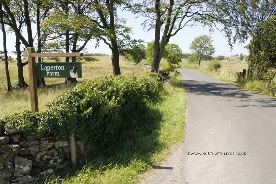
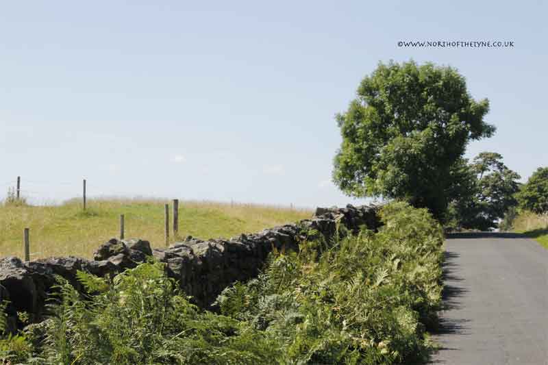
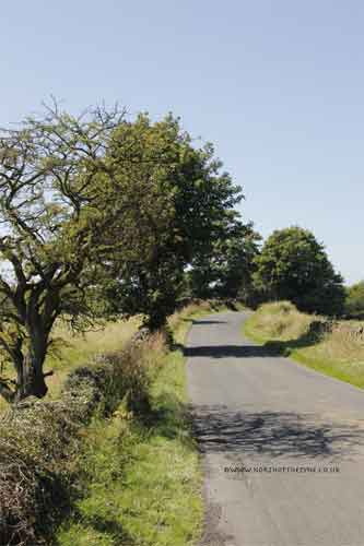
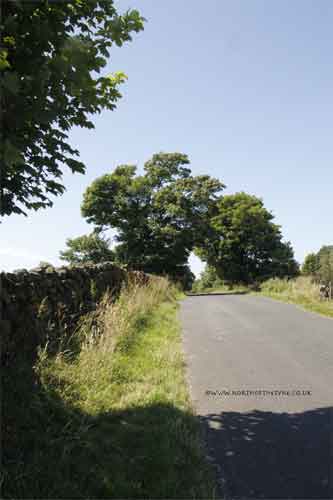
Birdoswald to Hare Hill
Milecastles 49 to 53
|
|
|
|
 |
|
|
 |
|
 |
|
 |
|
 |
 |
<<<<<<<<< Milecastle 49
Harrows Scar
*2
|
|
 |
|
|
|
Location
|
Milecastle
|
|
Segedunum to Pons Aelis
|
|
|
Pons Aelis to Condercum
|
|
|
Condercum to Heddon
|
|
|
Heddon to Harlow Hill
|
|
|
Harlow Hill to Portgate
|
|
|
Portgate to Chesters
|
|
|
Chesters to Brocolitia
|
|
|
Brocolitia to Vercovicivm
|
|
|
Vercovicivm to MC40
|
|
|
MC40 to Aesica
|
|
|
Aesica to Carvoran
|
|
|
Carvoran to Birdoswald
|
|
|
Birdoswald to Hare Hill
|
|
|
Hare Hill to Newton
|
|
|
Newton to Stanwix
|
|
|
Stanwix to Dykesfield
|
|
|
Dykesfield to Maia
|
|
|
|
|
|
|
|
|
|
|
|
|
|
|
|
|
|
|
|
|
|
|
 |
|
|
|
|
|
|
|
|
|
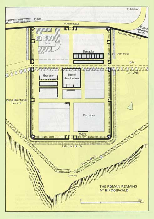
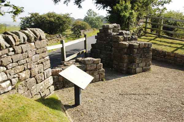
BANNA to MC53
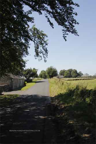
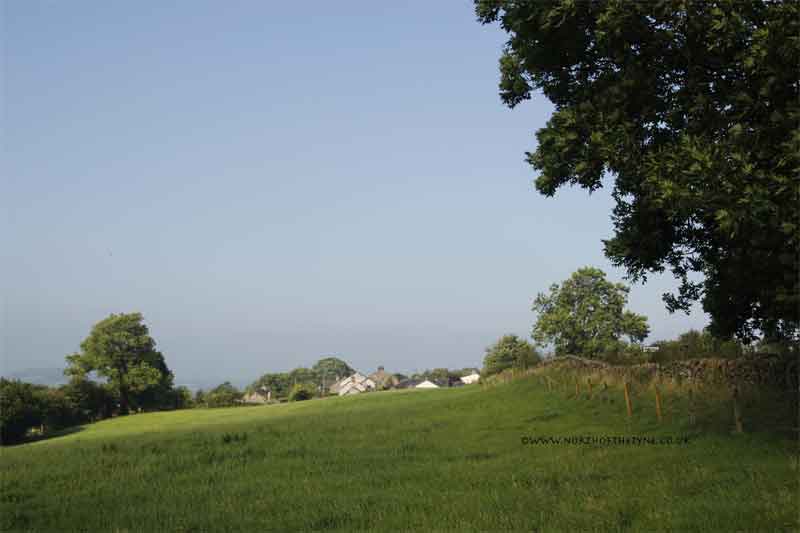
From Milecastle 49 and the cavalry fort of BANNA (Birdoswald) with spectacular views down the valley of the River Irthing to the south, the Wall heads for the western plain and the Solway.
********
West of the Willowford Bridgehead the Wall deviates from the expected rules, and for its deviations there are still no persuasive arguments. Logic ends at the River Irthing bridgehead. *1
Having used the terrain to military advantage for the miles west from Pons Aelius and a stone wall. For the last 30 miles they planned a wall of turf with a wooden parapet. The common factor is clearly that along this sector the planners no longer thought in terms of a serious threat from the north. The wall as built was a military mess, it is inconcevable that it was set up to face the same dangers as the central and eastern sectors *1
We are now in modern Cumbria
Roman Mile = 1620 yards = 0.92Mile = 1.48km

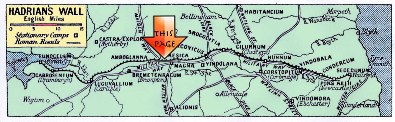
Start point for this page
|
|
|
|
 |
|
|
|
|
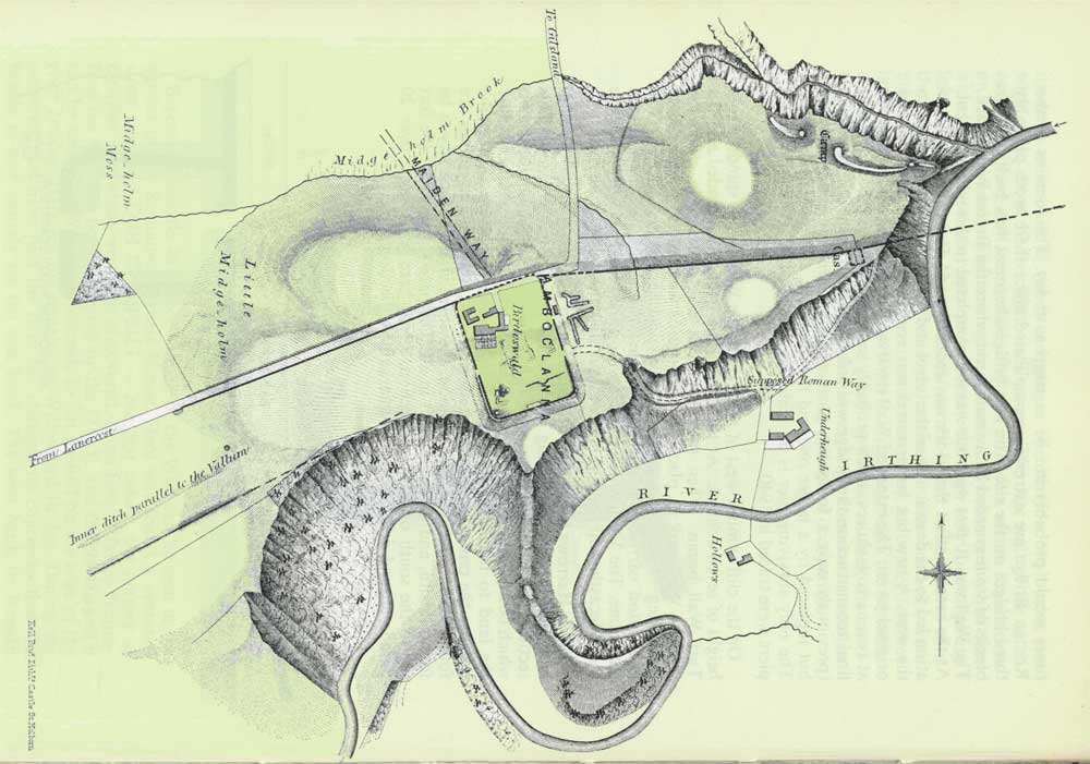
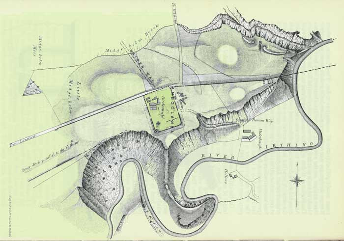
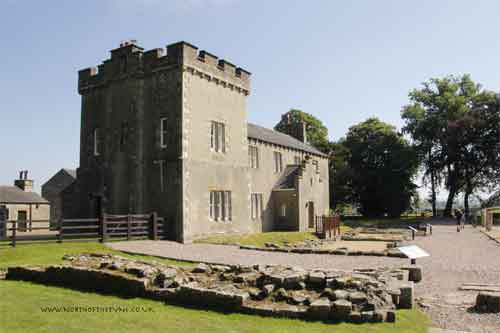
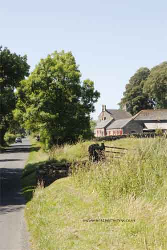
Birdoswald
BANNA
On the 1922 map above the Fort is shown as Amboglanna.
The Name of the Fort
The problem of the Roman name of Birdoswald has been frequently discussed as a result of an apparent contradiction between the archeological evidence and the Notitia Dignitatum. In the Notitia the fort garrisoned by cohors I Aelia Dacorum is recorded as Amboglanna. This Dacian cohort is well attested at Birdoswald on a large number of insciptions .................. and consequently Birdoswald was identified as Amboglanna by Horsley. This was subsequently corrected by Haverfield (1918), to Camboglanna, which is how the name appears on the Rudge Cup and the Amiens patera (Heurgon 1951)
In 1821, an altar (RIB 1905) dedicated to Silvanus by the Venatores Bannieses was found inside the fort. This suggested that Banna a name that appears on the Rudge Cup, the Amiens patera and also in the Notitia was Birdoswald. Breeze and Dobson (1987, 272) have pointed out that, without the confusion engendered by the Notitia entry, the altar would have been quite sufficient to establish the identification of Birdoswald with Banna.
the solution was found by Hassall (1976, 113) in his discussion of the British section of the Notitia, where it is proposed that there is a lacuna in an earlier version of the document and with restoration of the text Camboglanna should thus be located at Castlesteads on the Cambeck, where cohors II Tungrorum is attested epigraphically (RIB 1981-3). This argument is decribed by Rivet and Smith (1979, 262) as "not only acceptable, but, once demonstated, obvious", and the identification has achieved general acceptance. (eg. Mann 1989, 75) The topographical relevance to Birdoswald of the name Banna, with its meaning of a spur or a promontory is very clear. *2
|
|
|
|
|
|
|
|
|
|
|
|
 |
|
 |
|
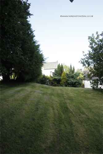
| The victorian Farmhouse built on the site of Birdoswald (BANNA) |
|
|
|
 |
|
 |
|
Above^^^ The SW corner of BANNA showing the "playing card" shape.
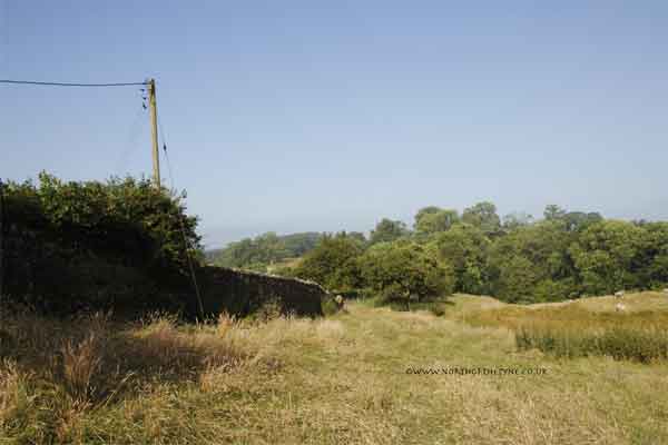
<<<<The view about 50 metres from the SW corner looking down into the Valley of the River Irthing.
Below :- The line of the Turf Wall as it leaves BANNA. The dips to either side of the lone tree are;
Right - Fighting Ditch and
Left VALLUM
|
|
|
|
|
|
|
 |
|
 |
|
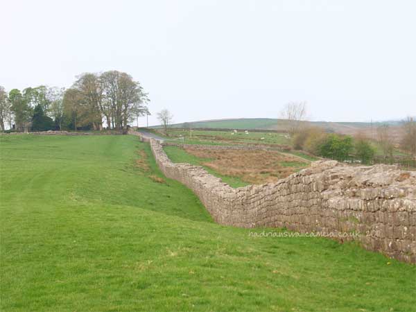
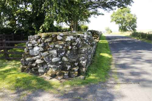
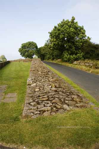
The stone Wall replacing the Turf Wall leaves BANNA heading west.
|
|
|
|
|
|
 |
 |
|
 |
|
|
|
|
|
 |
|
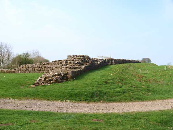
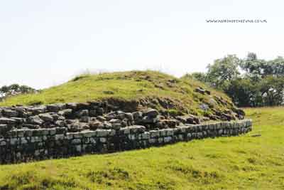
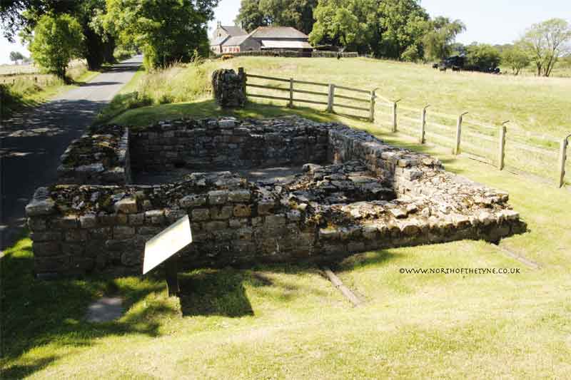
Remains of Turret 49
Fully excavated in 1911
in 1863 this was the only Turret in plain view on the whole length of the wall.
Below
|
|
|
|
|
|
 |
|
 |
|
|
|
|
 |
|
 |
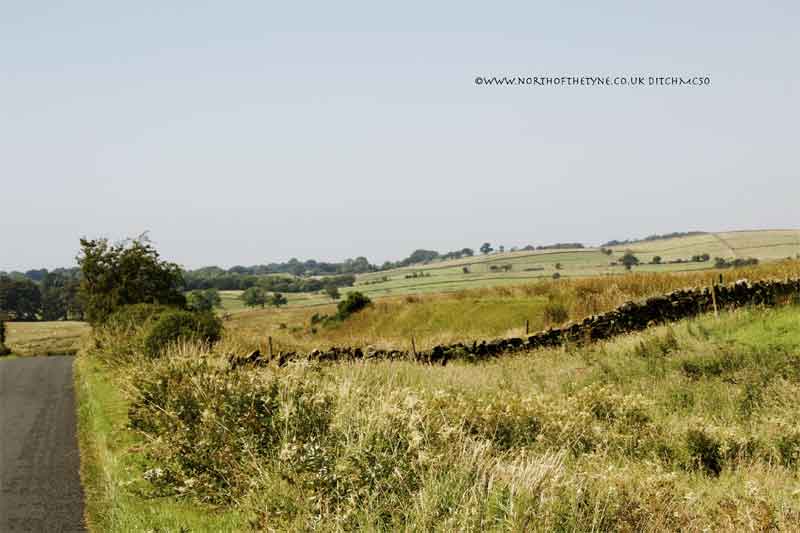
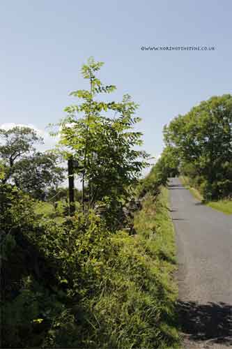
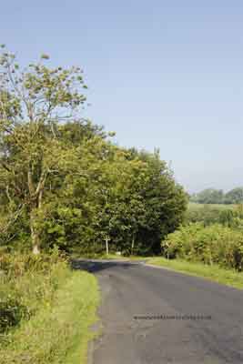
<<<<<<< The site of Milecastle 50
|
|
|
|
|
|
|
|
|
 |
|
|
<<<<<<< On the other side of the road from the Milecastle the ditch is quite prominent
|
|
|
|
 |
|
 |
|
 |
|
|
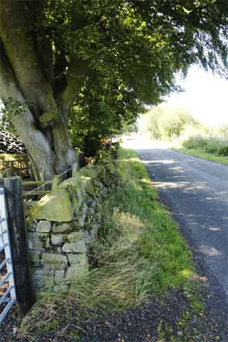
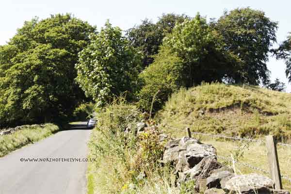
To the left of the road looking south the lines of the Turf Wall and ditch can be seen
|
|
|
|
|
 |
 |
|
 |
|
 |
|
 |
|
|
|
|
|
|
|
<<<<<<<<< Milecastle 51
|
|
|
|
|
 |
The stone wall meets the earlier line of the Turf Wall at this point and there are a number of earth mounds seen at this hill brow where Milecastle 51 was built over 51TW .
The site was excavated in 1927, 31 and 36 it had two internal stone barracks
|
|
|
|
|
|
|
|
|
|
 |
 |
 |
|
 |
 |
 |
|
|
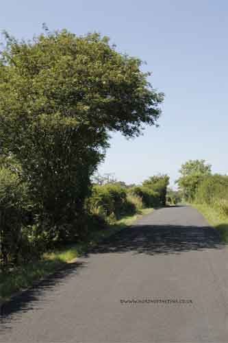
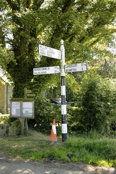
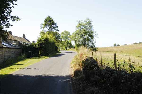
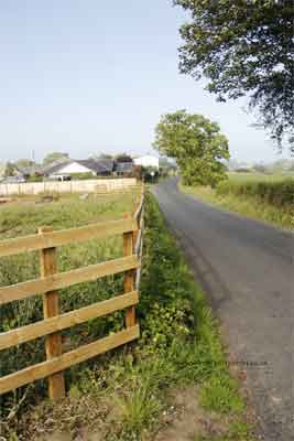
At the sign post the road now runs with the wall remains on the right hand side
|
|
|
|
 |
 |
|
|
Turret 51a Piper Sike (NY5882 6530)
|
|
|
|
|
|
|
|
|
|
|
 |
 |
 |
|
 |
 |
|
|
Turret 51b Leahill (NY5838 6511)
|
|
|
|
|
 |
 |
|
|
|
|
 |
|
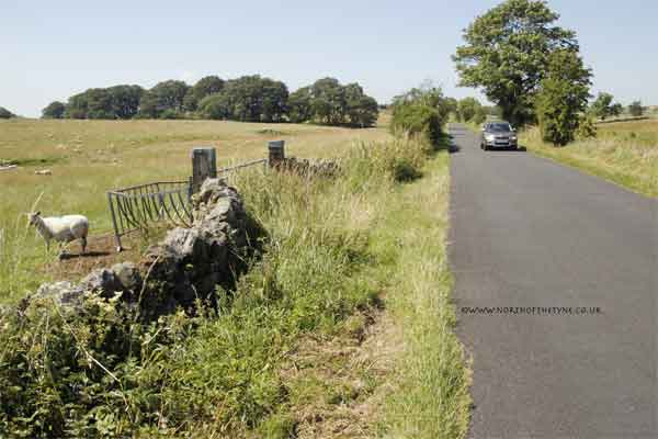
The ditch opposite MC52
>>>>>>>>>
|
|
|
|
 |
|
 |
|
 |
|
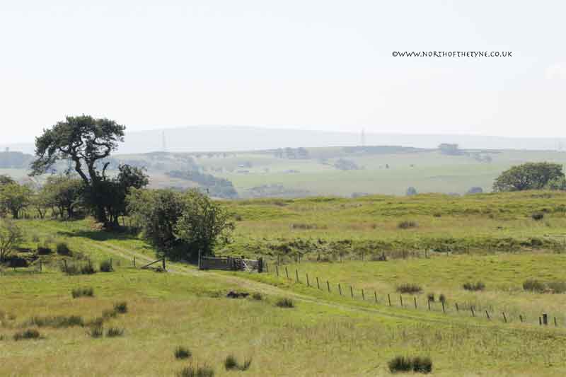
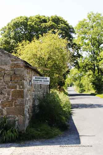
<<<<<<< The site of MC52 Bankshead
|
|
|
|
|
The site was excavated in 1934 it had a type III Gateway
Milecastle 52 was built on the site of 52TW
(NY5747 4729)
|
|
|
|
|
|
|
|
|
|
 |
 |
 |
|
 |
|
The Signal tower at the top of the Pike Hill between MC52 and Turret 52a Banks east is considered to have been incorporated into the Wall it having been part of the earlier Stanegate stations. It sits at an angle to the northern Wall face.
The wall remains abut the tower and are not knitted into the structure.
Tower diagram *4
|
|
|
|
|
|
|
|
|
 |
|
 |
|
 |
|
 |
|
|
 |
|
TW52a was a Turf Wall Turret.
14 courses high and a fallen piece of the superstructure lies just west of it. The Turret was intensively occupied until AD 296 after which it appears to have been used as a pent house, with the wall carried across it to full width. *5
|
|
|
|
|
|
|
|
|
 |
 |
|
 |
|
 |
 |
|
 |
 |
|
 |
|
 |
|
<<<<<<< The road divides at the junction at the west end of banks but the line of the Wall continues straight on..
|
|
|
|
|
 |
 |
|
 |
|
 |
 |
|
|
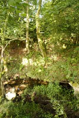
Before coming to the brook called Banks Burn, a piece of the core of the Wall is seen. By measurement, Milecastle 53 ought to have stood here: but in order to make better use of the ground it was placed at Banks Burn farm house on the west side of the stream. *6
|
|
|
|
|
|
 |
 |
|
 |
|
 |
|
|
|
|
|
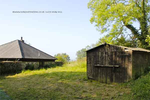
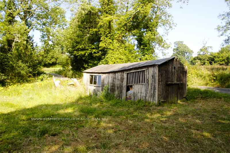
<<<<<<< The site of MC53 Hare Hill
|
|
|
|
|
|
Milecastle 53 :- Its gates were Type III and its internal dimentions 76.5 ft from north to south and 72 ft from east to west. in 1932 a fragment of the levelled Turf wall was found inside it. (NY5648 6460)
|
|
References for Page 13
*1 David Devine -The Northwest Frontier of Rome p129/130
*2 Tony Wilmott + - Excavations of a Roman Fort on Hadrian's Wall and its successor settlements: 1987-92. English Heritage 1997 Archeological Report 14
*3 J C Bruce - The Handbook to the Roman Wall 8th edition 1927 Pg 49
*4 J C Bruce - The Handbook to the Roman Wall 10th edition 1947 Pg 184
*5 J C Bruce - The Handbook to the Roman Wall 10th edition 1947 Pg 183
*6 J C Bruce - The Handbook to the Roman Wall 10th edition 1947 Pg 184
Map:- Banna (Amboglanna) MacLaughlan 1857
Bust of Hadrian:- Muzeo, Nazionale, Naples
|
|
|
|
|
|
 |
Milecastles
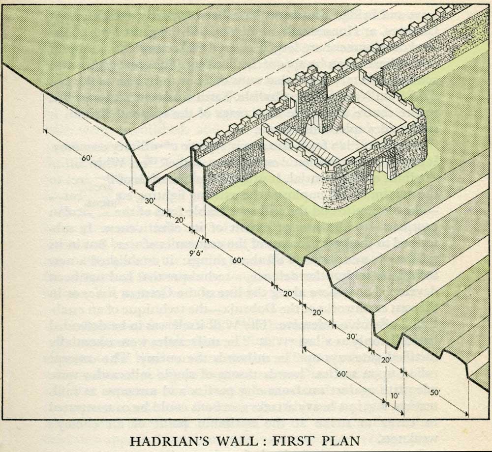
This first plan provided for a wall 10ft wide, 15ft 6 inches high and surmounted by a 6ft crenellation. to the north of this was a 20 ft berm, a standard fighting ditch 30ft by 13ft 6 inches, and a glacis composed of the spoil of the ditch, approximately 60ft in width.
At each Roman mile was a milecastle with a north gate opening through the Wall, surmounted by a defensive turret and a south gate. In the original plan there were two barracks and the milecastle maintained a turret on either hand for the patrol garrison.
South of the wall was the Vallum, a complex consisting of a 20 ft ditch with a wide bottom section and mounds composed of spoil to north and south. The wall was built to the design width only on the eastern slope. The Milecastles built before the change of plan had 10ft wings on either side. The curtain wall as finally built was substantially narrower and the join is indicated in the diagram.
This information and the diagram taken from Richard Devine The Northwest Frontier of the Roman Empire Chap2 pg 27
|
|
|
|
|
|
|
|
|
|
|
|
|
 |
|
|
|
 |
|
|
 |
|
|
|
|
|
|
|
|
|
|
|
|
|
|
|
|
|
|
|
|
|
|
|
|
|
|
|
|
|
|
|
|
|
|
|
|
|
|
|
|
|
|
|
|
|
|
|
|
|
|
|
|
|
|
|
|
|
|
|